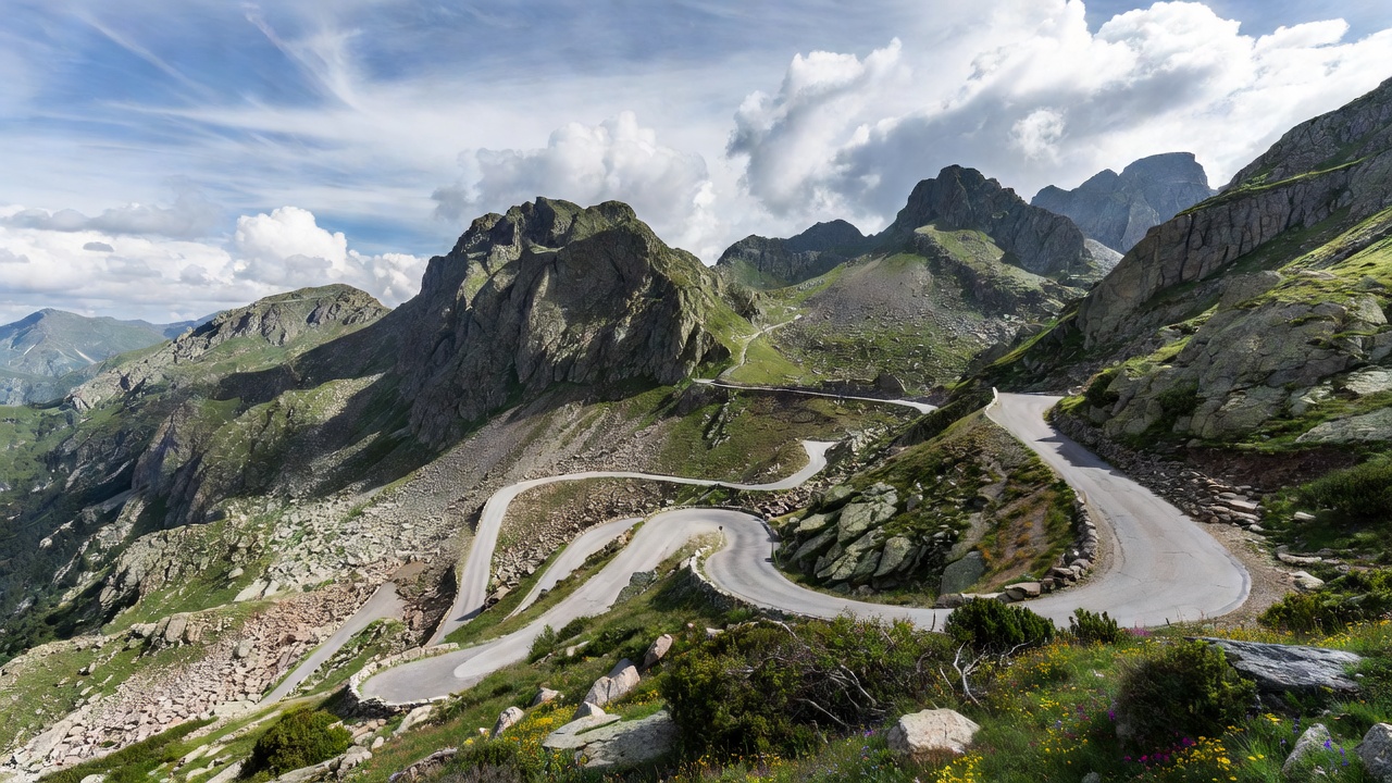
Conceived at the turn of the 20th century by the Touring Club de France, the Route des Grandes Alpes is an epic 720-kilometer north-to-south traverse of the French Alps. Stretching from Thonon-les-Bains on the shores of Lake Geneva to Menton on the Mediterranean Sea, this is not a single road but a curated amalgamation of D-roads and mountain passes designed to showcase the immense scale and geographic diversity of the region. It is the definitive multi-day alpine driving expedition.
Over the course of the route, drivers navigate 16 major mountain passes, including a handful that frequently feature in the Tour de France. The sheer variation in climate and terrain is staggering. The journey begins in the damp, lush pastures of the Haute-Savoie, climbs above the tree line into harsh, glaciated stone deserts, and finally descends into the arid, scent-heavy warmth of the Côte d'Azur. The elevation profile looks like a cardiogram of severe distress.
Key Passes and Topography
While every section offers merit, a few passes stand as monumental challenges. The Col du Galibier (2,642m) is notorious for its exposed, guardrail-free sections and dramatic craggy peaks. Driving it requires acute spatial awareness, as the road narrows significantly near the summit tunnel. Even more imposing is the Col de l'Iseran (2,770m), the highest paved mountain pass in the Alps. The northern ascent from Val-d'Isère cuts through a brutal, rocky landscape where summer snowbanks are commonplace well into July.
Further south, the Col d'Izoard (2,360m) introduces drivers to the Casse Déserte, a surreal, lunar environment defined by barren scree slopes and striking limestone pinnacles. As the route approaches the Mediterranean, the Col de Turini (1,607m) offers a completely different rhythm. Famous for its role in the Monte Carlo Rally, the Turini is defined by relentless, heavily forested switchbacks and low stone walls, demanding immense steering input and precise momentum management.
Pros and Cons
The Route des Grandes Alpes excels in its completeness. Unlike a simple up-and-down pass, it provides a structured narrative for a grand tour. There are no tolls for the main passes, making the driving technically free, though fuel consumption across the massive elevation gains will be substantial. The infrastructure along the route—hotels, petrol stations, and restaurants—is deeply accustomed to touring drivers.
The primary drawback is the reliance on seasonal weather. Because the route incorporates passes exceeding 2,500 meters, it is entirely impassable during winter and spring. The full 720-kilometer journey is realistically only viable from late June to late September. Attempting it too early in the season risks encountering closed barriers at the Iseran or Galibier, forcing detours of several hundred kilometers through low-elevation valleys, effectively ruining the itinerary.
Logistics and Preparation
Attempting the entire route in less than three days reduces the experience to an exhausting blur. Four days is the realistic minimum for enthusiastic drivers, while five to six days allows time for mechanical sympathy and appreciation of the views. Popular overnight stops include Chamonix (or nearby Megève), Bourg-Saint-Maurice, Briançon, and Barcelonnette.
Brake fluid must be fresh, and brake pads must have significant life remaining; descending the Galibier or Iseran on compromised brakes is highly dangerous. Furthermore, due to the extreme altitude variations, drivers in naturally aspirated vehicles will notice a significant drop in engine performance near the summits, losing roughly 3% of power for every 300 meters of elevation gained.